
A Disaster Response Network Example That Works
See a disaster response network example built for field operations, with private LTE/5G, microwave backhaul, vehicle connectivity, and command post access.


A disaster response network example is only useful if it reflects the conditions responders face after the commercial network is impaired: damaged fiber, overloaded cell sites, blocked roads, no utility power, and teams operating across a changing incident perimeter. The requirement is not simply to deploy Wi-Fi at a command post. It is to establish a communications system that can carry priority traffic, extend coverage, and remain usable as vehicles, personnel, and operating locations move.
For emergency management agencies, public safety organizations, utilities, and critical infrastructure operators, network design decisions made before an incident determine whether field teams receive reliable voice, data, video, mapping, and situational awareness tools when they need them most.
Disaster Response Network Example for a Regional Incident
Consider a severe hurricane affecting a coastal county. Flooding has disabled portions of the wired network, commercial cellular capacity is congested, and a regional emergency operations center must coordinate law enforcement, fire and rescue, utility restoration crews, hospitals, shelters, and state resources.
The communications objective is to create an independent, rapidly deployable broadband network linking four operational areas: the emergency operations center, a forward command post near the impact zone, a logistics staging area, and mobile field teams operating along the coast.
At the emergency operations center, a portable network core provides local control of authentication, traffic policies, and priority services. Depending on the mission and available spectrum, this core can support a private LTE or private 5G network. A fixed or vehicle-mounted stabilized microwave system establishes high-capacity backhaul to an intact fiber point, a satellite gateway, or another available communications hub outside the damaged area.
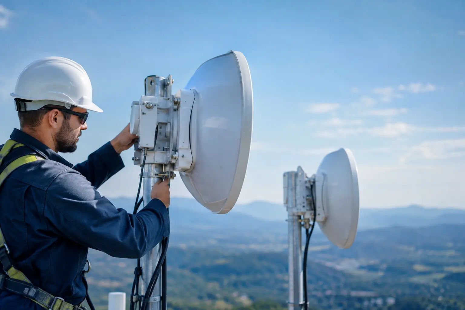
At the forward command post, a deployable private cellular node creates a local coverage bubble for agency-issued devices, rugged tablets, vehicle routers, cameras, and compatible radios. The node connects back to the operations center over a directional microwave link. If terrain, debris, or distance prevents a clean line of sight, the network can use an intermediate relay site on a tower, elevated vehicle, building, or mobile mast.
The logistics staging area receives a similar node for personnel accountability, inventory systems, dispatch applications, and video security. Mobile command vehicles and field units use onboard networks with auto-aiming antennas to maintain a backhaul connection while relocating. That capability matters when the incident command post moves away from flooding, when utility crews advance restoration work, or when a search area shifts several miles during the operational period.
This architecture separates local access from the wide-area transport path. A responder may connect to a nearby private LTE or 5G node, but the network still requires a dependable backhaul design to move critical traffic between sites and to external systems. The access layer and transport layer must be engineered together.
What Makes This Network Operationally Different
A temporary network becomes a response network when it is designed around incident operations rather than a single piece of equipment. Coverage, transport, power, mobility, security, and interoperability all affect whether the system supports real work.
Layered transport protects the mission
Microwave backhaul is often the primary high-throughput path when a clear route is available. It can support bandwidth-intensive applications such as live video from field cameras, drone feeds, CAD access, GIS data, and telemedicine consultation. Stabilized microwave systems add value where the endpoint is installed on a vehicle, vessel, or temporary platform subject to motion or repeated repositioning.
Satellite can provide reach when terrestrial paths are unavailable, but it may have higher latency, lower capacity, or operational cost constraints. Commercial cellular can serve as another path where it remains functional, especially for noncritical traffic or as an additional failover option. The best design depends on geography and incident scale. A practical deployment uses more than one transport option when the consequence of a single failure is unacceptable.
Traffic policies should reflect these differences. Mission-critical voice, dispatch, command applications, and essential operational data receive priority. Large file transfers, software updates, and nonessential internet use should not consume the same limited path during an active incident.
Mobility is a network requirement, not an accessory
Disaster areas rarely remain static. A wireless link that works when the vehicle is parked at the staging area may fail once it moves behind a ridge, enters an urban corridor, or changes orientation relative to the remote endpoint.
Auto-aiming antenna systems reduce the manual alignment burden by acquiring and maintaining the best available link as a vehicle moves or is repositioned. For mobile command centers, emergency management vehicles, maritime assets, and field support trailers, this can reduce setup time and help maintain continuity between deployment locations.
There is a trade-off. Fixed high-gain links can provide exceptional performance, but require a stable installation and a clear alignment path. Mobile stabilized systems provide flexibility, but the antenna, radio, mounting method, and path design must match vehicle dynamics and expected terrain. The decision should follow the operational concept, not a product checklist.
Local survivability limits dependence on outside systems
A response network should continue supporting local operations even if its internet or external backhaul connection is interrupted. At minimum, the command post should retain local access to approved operational applications, device management functions, network monitoring, and communications between connected users.
This requires planning for edge services, local addressing, local authentication where appropriate, and traffic rules that do not force every session through a distant data center. The result is a system that degrades gracefully rather than failing completely when an upstream connection is lost.
Engineering Priorities Before Deployment
The equipment is only one part of the solution. Network performance depends on preparation that can be completed before an emergency declaration.
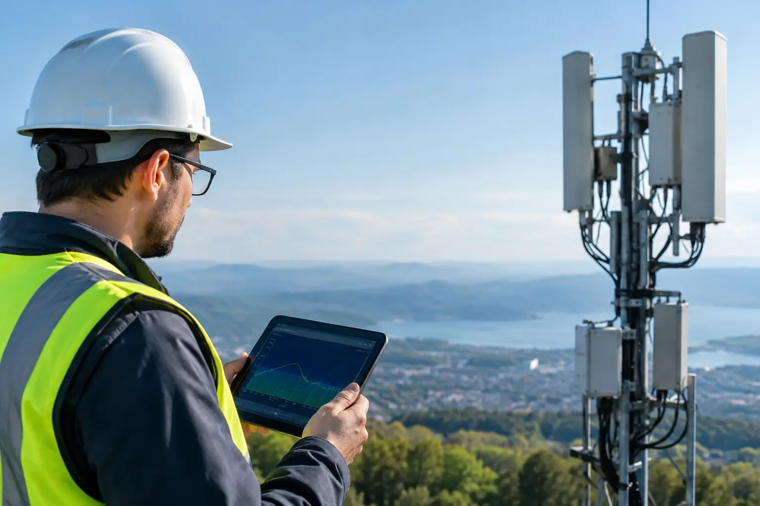
First, conduct path surveys for likely command post locations, towers, emergency facilities, ports, airports, utility yards, and staging areas. A microwave design needs more than an approximate distance. It must account for line of sight, Fresnel zone clearance, antenna height, terrain, obstructions, expected weather effects, frequency coordination, and interference risk.
Second, define coverage objectives in practical terms. A private cellular node may provide strong service around a command post but not across a large rural search area. Extending coverage may require sector antennas, additional small cells, portable towers, or relay locations. Coverage maps should identify what level of service is expected at the edge of the area, not just show an optimistic radius.
Third, plan power as carefully as radio frequency design. Generators, battery reserves, fuel logistics, grounding, surge protection, and environmental enclosures determine whether a field network stays on through the second and third operational periods. A system designed for a four-hour demonstration is not necessarily suitable for a multi-day response.
Finally, validate interoperability. Agencies may use different radio systems, device fleets, identity platforms, dispatch applications, and security policies. The network should support approved interfaces between these systems without creating uncontrolled access. Integrated radios and gateway capabilities can help bridge workflows, but they need testing before the incident, not during it.
Security and Control in a Shared Response Environment
Response operations often involve mutual aid partners, contractors, utility crews, and government personnel. That creates a legitimate need for shared access, but not unrestricted access.
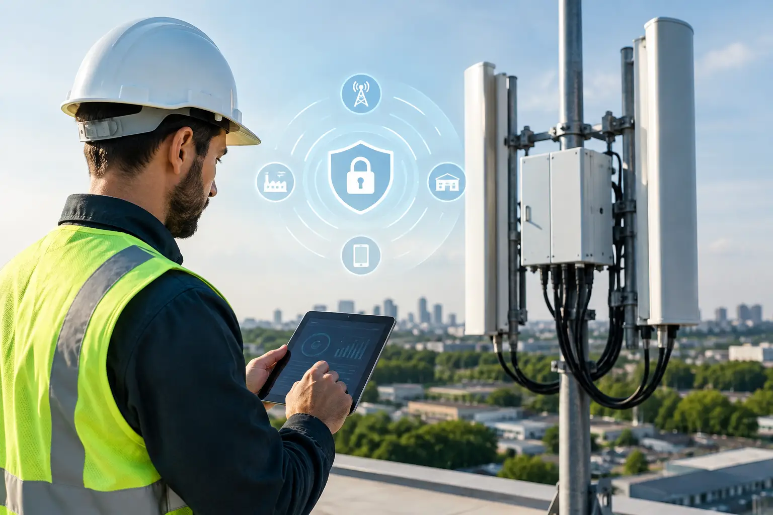
A well-designed private network can segment users by role. Incident command, public safety, logistics, medical operations, and vendor personnel can receive separate access policies and traffic controls. Network administrators should be able to identify connected devices, revoke access, prioritize applications, and monitor link health from the command structure.
Encryption, secure credentialing, and protected management interfaces are baseline requirements. Just as important, the network must be manageable by the personnel available in the field. Excessive complexity can become a failure point when staffing is limited and the operating tempo is high.
Measuring Whether the Response Network Succeeds
The right performance measures are operational rather than theoretical. Teams should measure time from arrival to service availability, backhaul uptime, coverage at designated work zones, throughput for priority applications, handoff behavior for mobile users, and the duration of operation on available power.
Documenting these results after exercises and real events improves the next deployment. It also clarifies where a cost-saving solution is appropriate and where additional redundancy is justified. For example, a one-day planned event may tolerate a single primary transport path, while a hurricane response supporting hospitals and utility restoration may require diverse backhaul from the first shift.
BATS Wireless designs engineered connectivity systems for situations where conventional broadband cannot be assumed. The strongest disaster response architecture is the one crews can transport, activate, operate, and sustain under pressure – before a damaged network becomes another obstacle to the mission.

October 26, 2026
October 26, 2026
October 26, 2026
October 26, 2026
